Geospatial Data in R

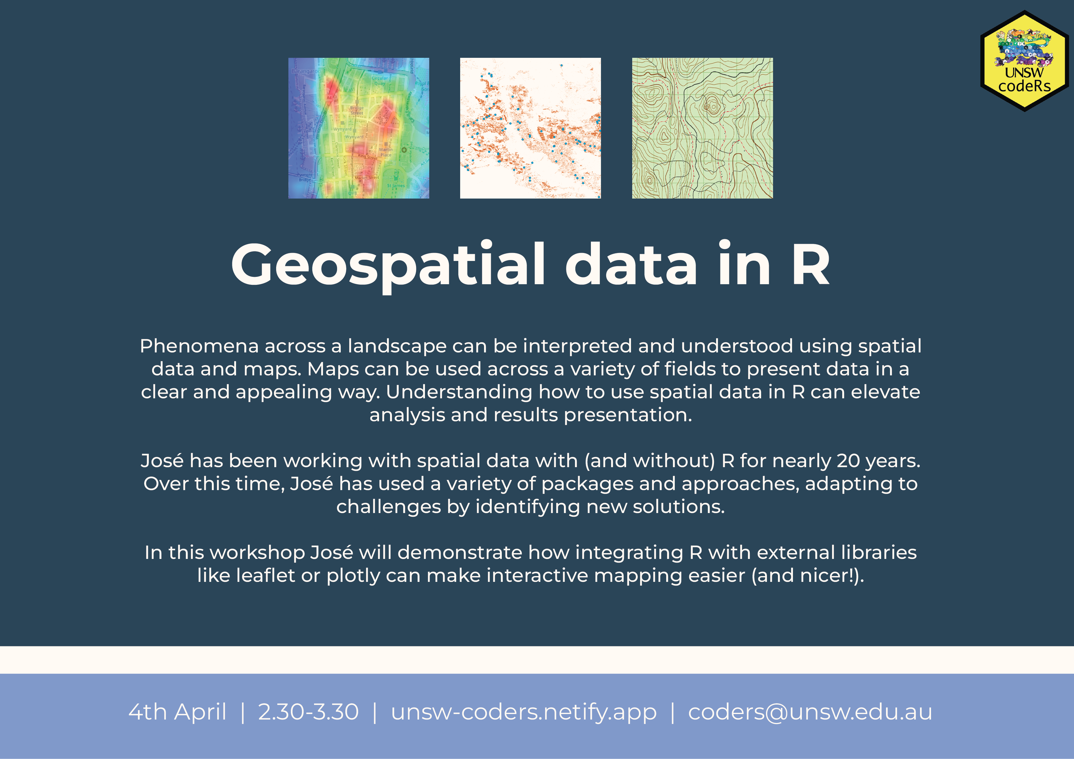
Spatial data is essential for understanding many phenomena in natural and social sciences, and maps are used in a variety of fields to visualise data and results in an appealing and interpretive way. I have been dealing with spatial data with (and without) R for nearly 20 years, using a variety of packages and approaches that have evolved over time, regularly finding challenges and new solutions. In this workshop I will demostrate how current integration of R with external libraries like leaflet or plotly make interactive mapping easier (and nicer!) than ever